15.04.2024
New National Method for Mapping of City Nature unveiled

We are happy to share that we are unveiling the new and updated version of our National Method for Mapping City Nature.
Initiated by SLA and ConTech Lab and developed in partnership with a broad range of industry stakeholders, the project and its associated bynatur.app (“City Nature App”) is the first comprehensive method specifically aimed at measuring and evaluating city nature and urban biodiversity.


The updated method provides even deeper and broader insights and evaluations of urban biodiversity and city nature.
Combining quantitative and qualitative measurements as well as advanced AI modeling, the method makes working with biodiversity strategic, operational, documentable (and free) for as many stakeholders as possible.
The method is designed for scalability and impact. Since its launch in May 2023, the method has already been used in more than 300 projects – expected to scale to over 1000 projects by 2025.
Its users include pension funds, developers, large corporations, municipalities, and a broad selection of landscape architects, engineers, architects, and ecologists.
Join the movement and learn more about the method here.
The method and app have been developed by SLA and ConTech Lab in partnership with Institut for Ecoscience – Aarhus Universitet, COWI, Ramboll, STED, Natur360, WSP Danmark, NIRAS, Futurista, Habitats, OIKO, DETBLÅ, and Rådet for Bæredygtigt Byggeri.

13.04.2025
SLA inaugurates UAE Pavilion Landscape at Osaka 2025 Expo
We are very proud to share that Sunday April 13, we inaugurated the UAE Pavilion landscape at Expo 2025 in Osaka, Kansai.

09.04.2025
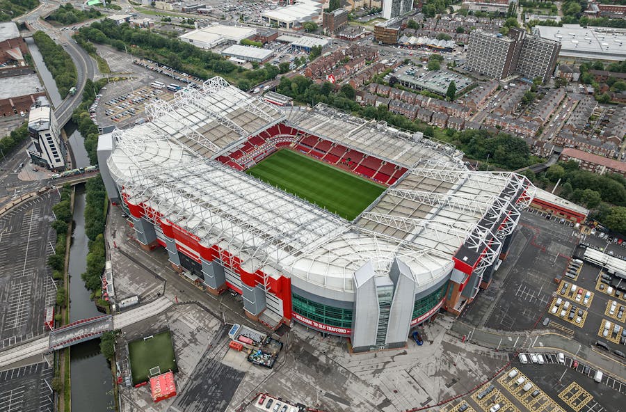
SLA wins 150 ha Trafford Wharfside masterplan in Manchester
We are thrilled to share that we – together with Allies & Morrison, Civic, and JLL – have been awarded the task of creating a strategic masterplan for one of the UK’s largest urban development projects: The transformation of the 150-hectare, £4.2 billion Wharfside district around Manchester United’s legendary Old Trafford stadium.
